“The Mariner always Knows his Latitude (Girth), but never his Longitude (Length)”
“Ghastly weather”, grumbled Admiral Sir Clowdisley Shovell as he glared at the fog that had been afflicting him for twelve days at sea. After victoriously battling the French Mediterranean fleet, from Gibraltar he had set sail for England with 21 Royal Navy ships on 29th September, 1707.
Beset by the fear that his ships could strike reefs the Admiral ordered his navigation officers to deliberate on the matter. In their opinion, the fleet was located at a safe distance west of the island of Ushant. However, the officers had miscalculated their position. The Isles of Scilly, located 20 miles off of the south-western tip of England, became a nameless grave for 2,000 soldiers.
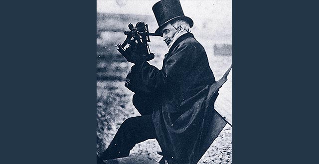
The development of observation instruments in the 18th century improved the possibility of determining one’s position. Sextants, and a new generation of timekeepers called marine chrono-meters, made it possible to accurately determine one’s position on the high seas. That is how Captain Welladvice knew, in 1789, that his ship had to be near the treacherous Isles of Scilly. He had the ship moored at midnight and at daybreak he discovered the rocks ahead of him. The tragedy of 1707 was not repeated.